Background
At the onset of summer 2013, website designer and videographer JM Libarnes, accompanied by Siargao’s tourism officer Donna Tiu, visited a little known spring in Siargao. Libarnes published a video of the spring on YouTube http://www.youtube.com/watch?v=lZc2W0w6vrY, and from then on, curious visitors started to make a detour on their way to Siargao and take a glimpse of this new attraction.
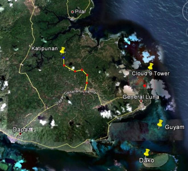

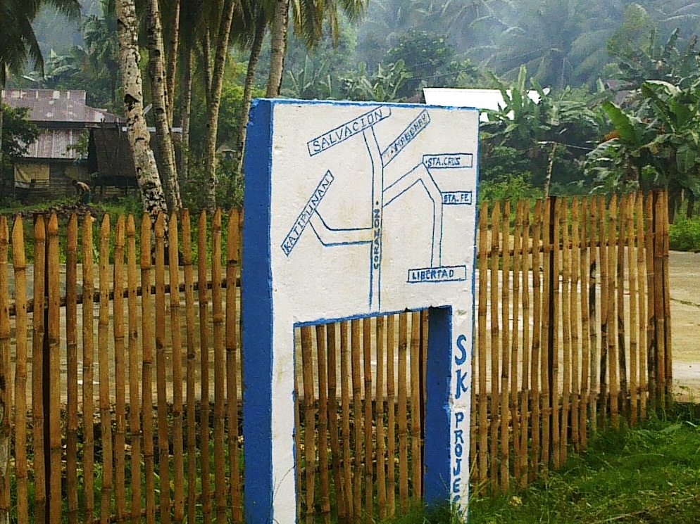
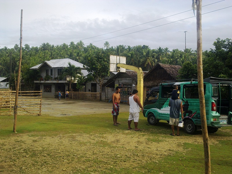
The spring is located 500 meters southwest of Barangay Katipunan, Pilar municipality, on the island of Siargao, Surigao del Norte, Philippines (9°49’41.99″N, 126° 5’24.15″E). It feeds a small river that meanders for 4.5 kilometers along embankments of Nipa and mangrove trees, finally flushing out to sea at the eastern part of Siargao Island. The barangay (population 600+), is accessible through the Corazon junction in the middle of the Dapa-General Luna road. The junction is 8 kilometers from Dapa, and only 7 kilometers from General Luna.
Exploration
Soon after seeing the YouTube video, cave diver and FCD member Jake Miranda (Punta Bilar Dive Center-Surigao City) contacted local authorities of his intention to visit the spring in the hope of finding and exploring the underground source of the spring. Miranda had earlier sought the assistance of Dir. Mundita Lim of DENR-PAWB to send representatives from the DENR-PAWB Caraga to assess the area. After the DENR assessment, permission was finally granted by no less than the governor of the province, Gov. Sol Matugas, who had earlier visited the site and gave specific instructions that no “dives” should be done in the area.